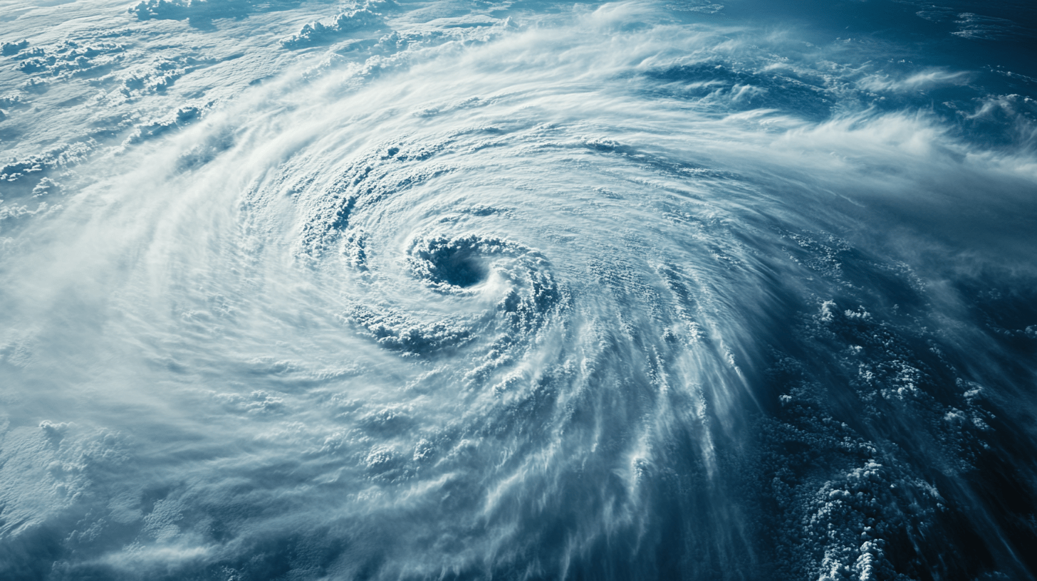
Hurricanes
Explore the science, impacts, and sustainable solutions for hurricanes, empowering you to understand their nature, mitigate risks, and promote resilience in a changing climate.

Forecasting and Tracking Hurricanes
Accurate hurricane forecasting saves lives, reduces damage, and helps communities prepare for impending storms. Modern forecasting methods have significantly improved over the past decades, providing more time for evacuation and better disaster response.
Example: In 2020, accurate forecasts of Hurricane Laura enabled over 600,000 people to evacuate safely from Louisiana and Texas, minimizing loss of life despite the storm’s Category 4 intensity.
Tools and Technologies for Forecasting
Hurricane forecasting relies on a combination of advanced technologies and real-time data collection. Here are some of the key tools:
Satellites
Satellites provide a bird’s-eye view of developing storms, tracking their size, intensity, and movement.
Geostationary Satellites: Stationary over a specific region, these satellites continuously monitor weather conditions.
Polar-Orbiting Satellites: Offer detailed imagery by circling the Earth, providing data on areas missed by geostationary satellites.
Example: NOAA’s GOES-16 satellite tracks Atlantic hurricanes in real time, offering high-resolution imagery and infrared analysis of storm clouds.

Doppler Radar
Ground-based radars measure precipitation and wind speeds within a storm, offering insights into its structure.
Limitation: Radars are effective only when storms are close to land.
Hurricane Hunter Aircraft
Special aircraft fly directly into hurricanes to collect critical data, such as wind speeds, pressure, and temperature.
Example: The U.S. Air Force’s Hurricane Hunters provide real-time data that improve storm models and predictions.
Buoys and Ocean Sensors
Buoys measure sea surface temperatures and wave heights, key factors in hurricane development and intensity.
Data Insight: Buoy readings helped predict the rapid intensification of Hurricane Ida (2021) over unusually warm Gulf waters.
Forecast Models and Techniques
Hurricane forecasting combines data from multiple sources with powerful computer models to predict a storm’s path, intensity, and potential impacts.
Numerical Weather Prediction (NWP):
NWP models simulate atmospheric conditions using mathematical equations.
Global Models: Include the Global Forecast System (GFS) and the European Centre for Medium-Range Weather Forecasts (ECMWF).
Regional Models: Provide localized predictions, such as the Hurricane Weather Research and Forecasting Model (HWRF).

Cone of Uncertainty:
Forecasters use this graphic to represent the likely path of a hurricane’s center over time.
Limitation: The cone does not show the size or full extent of the storm’s impacts, which can extend hundreds of kilometers beyond its center.
Quick Fact: The average 48-hour hurricane track forecast error has decreased by 60% since 2000, thanks to advancements in technology and modeling (NOAA).
Challenges in Hurricane Prediction
Despite advancements, forecasting hurricanes remains a complex task, with several challenges:
Rapid Intensification
Predicting sudden increases in storm strength is difficult, as it depends on a mix of oceanic and atmospheric conditions. Example: Hurricane Michael (2018) intensified from a Category 2 to a Category 5 storm within 24 hours, catching many off guard.
Unpredictable Paths
Hurricanes can take erratic or unexpected paths, influenced by shifting wind patterns or interactions with other weather systems. Example: Hurricane Sandy (2012) made an unusual left turn toward the U.S. East Coast, driven by a blocking high-pressure system.
Impact Beyond the Cone
While the cone of uncertainty is useful, it does not convey the full range of a hurricane’s effects, such as storm surge and rainfall far from the storm’s center.
The Role of Climate Change in Forecasting
As climate change affects hurricane behavior, forecasters face new challenges in adapting models to account for these changes. For example:
- Warmer Oceans: Increase the likelihood of rapid intensification, making it harder to predict storm strength.
- Slower Storm Movement: May lead to higher rainfall totals, requiring updated models to better estimate flooding risks.
Key Takeaways
- Hurricane forecasting relies on advanced tools, including satellites, radar, aircraft, and ocean sensors, to track and predict storm behavior.
- Forecast models like GFS and ECMWF have significantly improved prediction accuracy, but challenges like rapid intensification and erratic paths remain.
- Understanding the limitations of forecasting, such as the cone of uncertainty, helps communities better prepare for a storm’s full impacts.